Dennis Bayazitov | Assistant News Editor
Featured Image: The app aims to allow city planners to identify hazardous transportation spots around the city with commuter input. | Basma Elbahnasawy
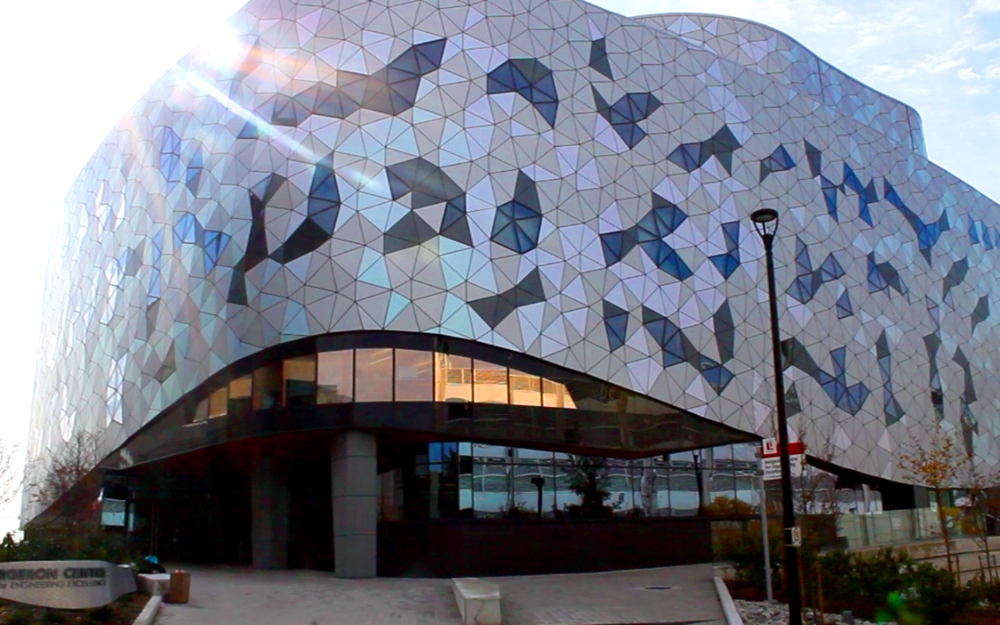
Lassonde School of Engineering geomatics students Stephen Kosmachuk, Justine Abdelshahid, and Benjamin Brunson have won the 2017 Esri Canada Centre of Excellence (ECCE) App Challenge.
Every year, 10 Centres of Excellence at participating Canadian universities and colleges nominate their most exceptional students to represent their school as Student Associates in the ECCE program. Students are challenged to use their GIS expertise to, in a cooperative manner, create socially valuable apps using the Esri platform.
Student Associates receive access to technical expertise, resources, and software, all provided by Esri Canada, as well as free admission to the company’s user conferences.
This year’s theme was sustainable transportation.
“We wanted to make a tool that would facilitate people voicing their concerns and organize these concerns into a coherent action plan,” says Brunson.
Lassonde’s team developed an app that ultimately gathers crucial traffic hazard data on a continuous basis to mitigate worsening transportation infrastructure, which is becoming a growing concern in aging cities.
“We chose to make an application that allowed members of the public to report ‘traffic hazards’ that affected their daily commute; things like poor road conditions and consistent jaywalking and/or speeding issues,” adds Brunson. “We chose this topic because of how complicated it can be to maintain a large transportation system.”
The app allows the public to report traffic hazards to city officials and urban planning experts, who then process the crowd-sourced information in an intuitive way.
Brunson notes that their team chose to implement separate interfaces for reporting traffic hazards and for organizing and summarizing them. “Dividing the application this way made it quite unique, allowing us to further customize each interface to improve each person’s experience with the application.”
“We feel that our application would get people more interested in being observant and aware of traffic issues, because it provides them a way to get involved by providing direct input on how well the transportation system is meeting their needs and voicing their concerns,” he says.
While the team is very satisfied with the results of their efforts, they still acknowledge that there is room for refinement.
“With publicly reported data, there can be definite issues in terms of validating what the public reports. What may constitute a ‘severe’ hazard for one person’s commute might just be a ‘minor’ hazard on someone else’s—people have different thresholds and tolerances for inconvenience,” Brunson explains.
“It would be good to have a way to verify what people are reporting, perhaps through crowd polling procedures. Something like that would be a good next step.”
Their victory wins the Lassonde team a trip to the 2017 Esri User Conference in San Diego.


